
Bournemouth thunderstorms warning issued for heavy rain and lightning
The Met Office has issued a yellow warning for thunderstorms and heavy rain across Bournemouth and Dorset from 11am to midnight. Prepare for hail, lightning and travel delays.
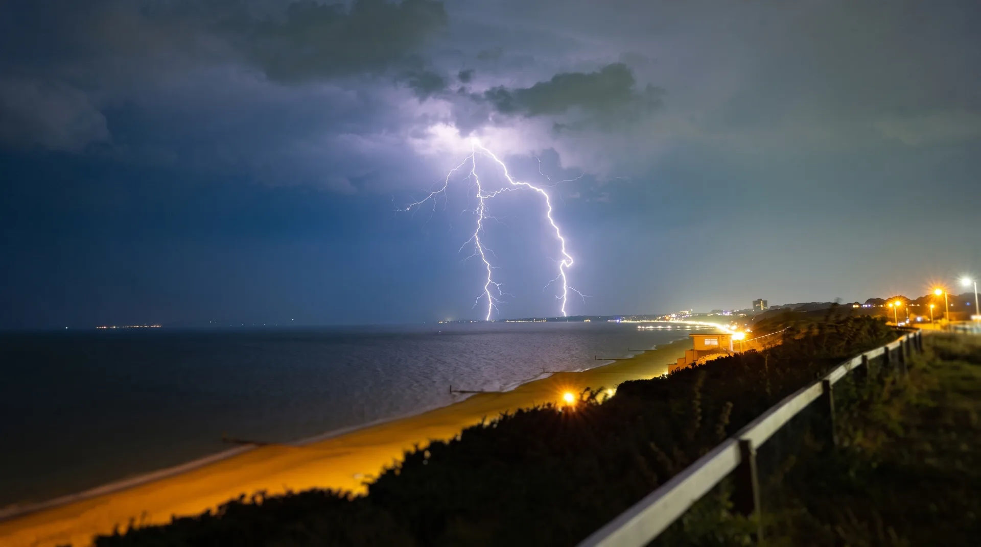
Met Office Issues Thunderstorms Warning for BCP and Dorset
The Met Office has issued a yellow warning for thunderstorms across Bournemouth, Christchurch, Poole and the wider Dorset area. This bournemouth thunderstorms warning signals potentially severe weather conditions. It highlights the risk of heavy rain, frequent lightning, hail and strong winds. These could affect daily life and safety from late morning through to midnight. Residents and visitors should take this alert seriously and prepare accordingly for the unsettled weather.
Overview of the Bournemouth Thunderstorms Warning
The bournemouth thunderstorms warning is in place from 11am until around midnight on the same day. It covers the Bournemouth, Christchurch and Poole (BCP) conurbation as well as the surrounding Dorset region. The Met Office expects widespread rainfall accompanied by intense thunderstorms. These may cause disruption and hazards across the area.
Expected Weather Conditions
The forecast predicts widespread rainfall totals of 10 to 15mm. Some locations may receive between 30 and 40mm of rain during the course of the day. These heavy showers will be thundery in nature. They will initially affect southwest England and Wales before spreading further east and north into Dorset and neighbouring counties by the afternoon.
Alongside the rain, the thunderstorms will bring frequent lightning strikes. These pose a risk to people and property. Hail is also expected in some areas, adding to the potential for damage and travel disruption. Wind gusts of 35 to 45 mph are forecast in southern parts of England and Wales, including Dorset. This could lead to fallen branches and loose debris on roads.
As the evening progresses, the most intense showers and thunderstorms are expected to become more scattered. However, isolated heavy bursts may still occur overnight.
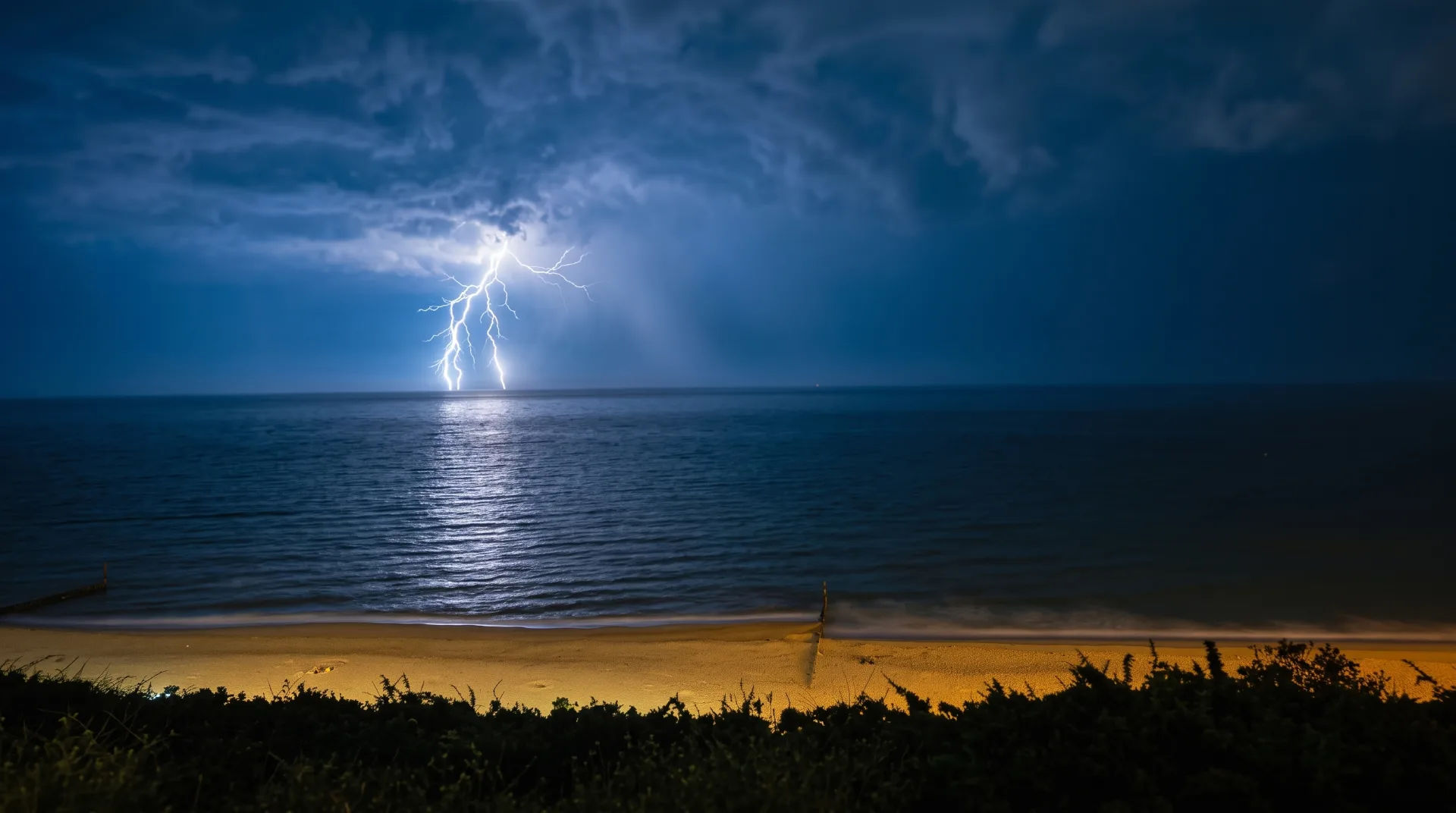
What Does the Bournemouth Thunderstorms Warning Mean for You?
This bournemouth thunderstorms warning is designed to alert the public to the potential dangers and disruptions caused by severe weather. It is important to understand how the forecast conditions may affect daily activities, travel and safety.
- Road Conditions: Heavy rain, hail and spray can reduce visibility and make roads slippery. This increases the risk of accidents. Drivers should allow extra time for journeys and exercise caution, especially on untreated or rural roads.
- Rail Services: Train delays or cancellations may occur due to water on tracks, signal failures caused by lightning, or fallen trees.
- Infrastructure: Lightning strikes can damage buildings, telecommunications and power infrastructure. This may cause outages or interruption of services.
- Power and Services: Localised power cuts are possible. These may affect heating, lighting and electronic devices.
- Flooding: Surface water flooding could affect some roads, homes and businesses. This is particularly likely in low-lying or poorly drained areas.
Emergency services and local authorities will be monitoring the situation closely and responding as needed. It is advisable for residents and visitors to keep up to date with official advice and warnings.
Preparing for the Bournemouth Thunderstorms Warning
Taking simple precautions can help minimise the impact of the thunderstorms and keep you safe during the warning period.
Safety Tips During Thunderstorms
- Avoid unnecessary travel during periods of heavy rain and lightning.
- Secure outdoor furniture, bins and other loose items that could be blown away or cause injury.
- Stay indoors if possible when thunderstorms are active. Avoid tall structures, trees and open fields.
- Keep mobile phones charged and have a torch and emergency supplies ready in case of power outages.
- Follow updates from the Met Office and local authorities via their websites, social media or local news.
Planning Ahead for Activities in Bournemouth and Dorset
If you have plans for outdoor activities, events or travel in Bournemouth and Dorset during the warning, it is wise to consider alternatives or reschedule where possible. Many indoor attractions, cafes and entertainment venues offer a comfortable refuge from the stormy weather.
For ideas on things to do in Bournemouth whatever the weather, visit our Things to Do section to explore indoor and outdoor options.
Understanding the Science Behind Thunderstorms in Bournemouth
Thunderstorms occur when warm, moist air rises rapidly into cooler layers of the atmosphere. This causes condensation, cloud formation and electrical charges that produce lightning. Bournemouth’s coastal location and local geography can influence the development and intensity of storms.
Why Does Bournemouth Experience Thunderstorms?
Bournemouth’s position on the south coast of England means it is occasionally affected by weather fronts moving in from the Atlantic or continental Europe. During the warmer months, the combination of sea breezes and inland heat can create unstable air masses conducive to thunderstorm formation.
The local landscape, including the nearby Purbeck Hills and heathlands, can also affect airflow patterns and contribute to localized storm development. While thunderstorms are not an everyday occurrence in Bournemouth, when they do happen they can bring sudden and intense weather changes.
What to Expect After the Thunderstorms
Once the thunderstorms pass, conditions usually improve quickly. Showers tend to become lighter and more scattered. Clearer skies and calmer winds follow behind the storm front. However, residual flooding or damage may persist in some areas. Caution is still advised.
Monitoring Weather Updates
The Met Office provides regular updates and forecasts throughout the day. This helps residents and visitors stay informed about the evolving situation. It is recommended to check the Met Office website frequently during the warning period for the latest information.
Additional Resources and Support
For those affected by the storms, local councils and emergency services offer guidance and assistance. The BCP Council website provides information on road closures, flood warnings and community support services.
If you are travelling by train or bus, check with operators for any service disruptions or changes due to the weather.
Summary: Stay Safe During the Bournemouth Thunderstorms Warning
The bournemouth thunderstorms warning issued by the Met Office is a clear signal to prepare for potentially hazardous weather conditions including heavy rain, lightning, hail and strong winds. By understanding the risks, taking sensible precautions and staying informed, residents and visitors can reduce the impact of the storms and stay safe.
For more information about local weather updates and safety advice, visit the Met Office website. To explore things to do in Bournemouth regardless of the weather, see our Things to Do section.
Frequently asked questions
When is the Met Office yellow warning for thunderstorms in Bournemouth and Dorset in effect?
The yellow warning for thunderstorms is active from 11am until around midnight on the same day. During this period, residents and visitors should be prepared for frequent lightning, heavy showers and the possibility of hail.
What weather conditions are expected during the thunderstorms warning in Dorset?
Widespread rainfall of 10 to 15mm is expected, with some areas potentially receiving 30 to 40mm of rain. The showers will be heavy and thundery, initially affecting southwest England and Wales before spreading more widely in the afternoon. Additional hazards include hail, frequent lightning strikes, and wind gusts of 35 to 45 mph in southern parts of England and Wales.
How might the thunderstorms affect travel in Bournemouth and Dorset?
Travel could be impacted by spray, standing water and hail on roads, which may lead to longer journey times for car and bus travellers. Train services might experience delays due to the weather conditions. It is advisable to plan for potential disruptions and allow extra time for journeys.
What safety risks are associated with the thunderstorms warning?
There is a risk of lightning strikes causing damage to buildings and structures, as well as short-term power outages and disruption to other services. Flooding could affect some homes and businesses, potentially causing damage. It is important to take precautions such as securing outdoor items and avoiding tall objects during lightning.
What precautions should residents and visitors take during the thunderstorms warning?
People should avoid unnecessary travel during heavy showers and secure outdoor items that could be blown away by strong winds. It is also important to keep away from tall objects and open fields during lightning. Monitoring updates from the Met Office and local authorities will help stay informed about changing conditions.
What should people planning activities in Bournemouth consider during the thunderstorms warning?
Those planning activities should consider indoor alternatives or reschedule to avoid the stormy conditions. This will help ensure safety and avoid disruption caused by heavy rain, lightning and strong winds during the warning period.


Comments (0)
No comments yet. Be the first to join the conversation.